Cabelands and Eno Quarry Trails
Wonderful hike to the river and exploring the old Quarry…
Entrances:
The Cabe Lands entrance can be a little difficult to find. I have marked the Cabe Lands entrance in google maps if you would like directions from your exact location. Additional directions can be found at Trails of NC and Wildernet.
Environment:
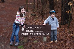
Cabelands loop starts at the parking lot / trailhead. Staying straight, the trail gently heads down toward the river. Earthen mounds on each side of the trail hint to the previous existence of Cabe Mill in this area.
View Larger Map
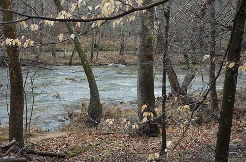
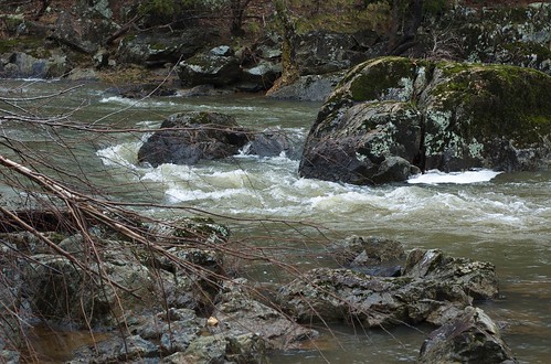
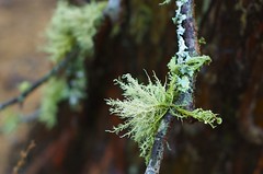
A short walk along the Eno River at Cabe’s Gorge rewards the middle part of the loop. Waters rush around the rapids here. Fresh water mussel shells frequent the water line. Trees line the river–a few even filled with moss saprophytes.
Leaving the river, the trail turns into a gentle climb. Although probably “moderate” by definition, my three-year-old had no problem tackling it. The trail moves up and down through shaded woods.
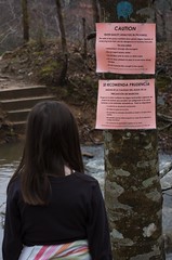
A take off to the Quarry trail on the right is marked with a large warning sign. After a short hike, stone stepping is required to get across a Rhodes Creek to reach the quarry. Unfortunately for us, a huge night of rains had left the stream unskippable by my family. Navigating the trail over the circumference of the quarry will have to be left to another trip.
Swimming/playing in the 4 acre Quarry Pond is always discouraged but typically allowed. However, currently due to an algae bloom, warning signs are posted everywhere suggesting that the water could actually be dangerous.
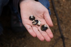
Coming back from the quarry trail, the end of the cabelands trail is peppered with large quartz on each side of the trail.
Kid’s Interests:
- Interesting quartz/stones
- Earthen remains of the mill
- Rapids of the river
- Stone skipping across Rhodes Creek
- Numerous downed trees
Details:
Cabelands Trail —
- Difficulty: Moderate, shaded
- Surface: Natural
- Bicycles: No
- Length: 1.2 miles
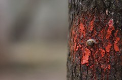
- Blazes: Red dots
Eno Quarry Trail —
- Surface: Natural
- Bicycles: No
- Length: 0.38 miles to the Quarry and 0.42 miles around it
- Blazes: Blue dots
Maps and Links:
- Google Maps: Cabelands and Eno Quarry
- Trails of Western Eno
- KMZ of Cabelands and Eno Quarry Trails
- Images from Cabelands Hike


